Figure 1.3: Map of Sub-global Assessments
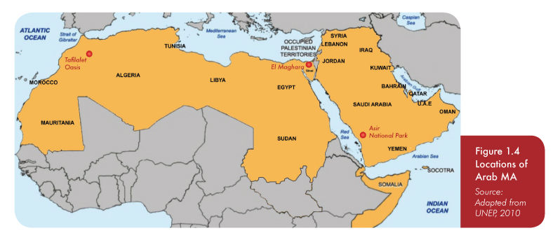
Figure 1.4: Locations of Arab MA
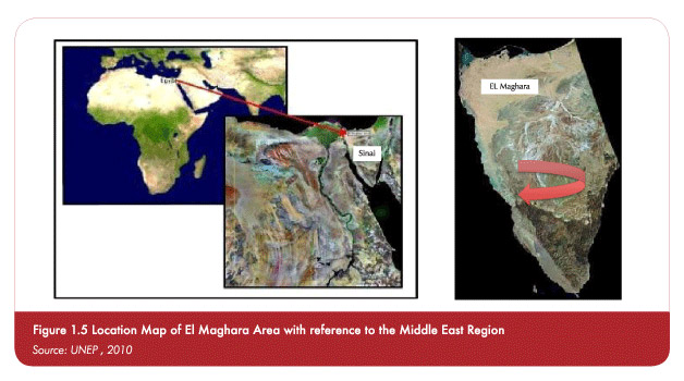
Figure 1.5: Location Map of El Maghara Area with reference to the Middle East Region
Figure 1.6: Map of Saudi Arabia, Showing the Location of Asir Province
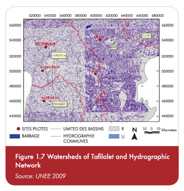
Figure 1.7: Watersheds of Tafilalet and Hydrographic Network
Figure 1.9: Changes in Vegetation Cover
Figure 2.1: Jiyyeh Oil Spill, Lebanon
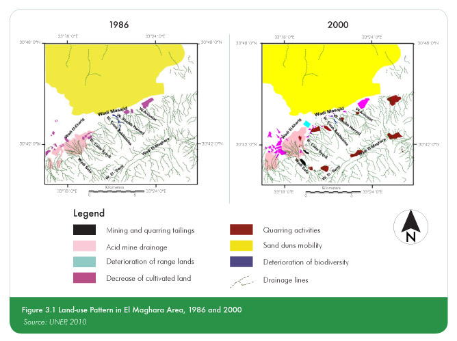
Figure 3.1: Land-use Pattern in El Maghara Area, 1986 and 2000
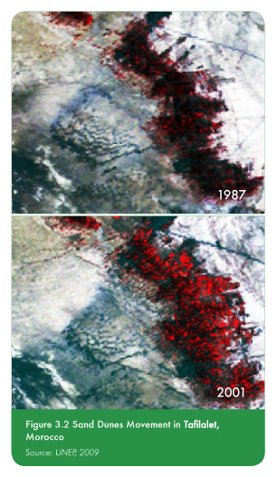
Figure 3.2: Sand Dunes Movement in Tafilalet,Morocco
Figure 3.3: Erosion Map, El Maghara, Sinai, Egypt