|
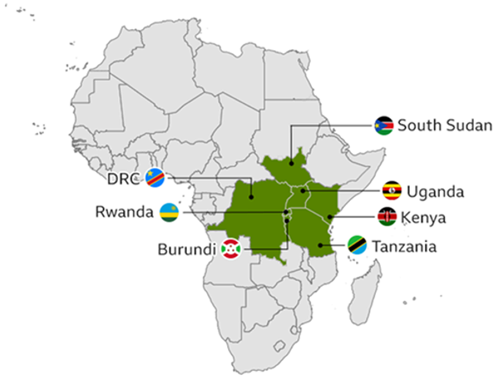
Located in the East Africa, Kenya has as a total land area of 582,646 km², which includes varied formations of plains, escarpments, and hills, as well as low and high mountains[1]. Starting east along the coast, low plateaus run inland to an elevated plateau and mountain ranges, marked by the Kenyan highlands in the southwest corner of the country. Kenya shares borders with Ethiopia to the north, South Sudan, and Uganda to the northwest and west, and Tanzania to the south. The country’s southeast coastline borders the Indian Ocean. Approximately 85 per cent of Kenya’s land area is classified as a fragile arid and semi-arid ecosystem, which is largely pastoral[2], [3].
![]()
![]()
| _ |
Refrences
[1] Government of Kenya, “Second Voluntary National Review (VNR) on the Implementation of the Sustainable Development Goals,” Government of the Republic of Uganda, Nairobi, Kenya, 2020. Accessed: May 02, 2022. [Online]. Available: https://sustainabledevelopment.un.org/content/documents/26359VNR_2020_Kenya_Report.pdf
[2] “Kenya: second national communication to the United Nations Framework Convention on Climate Change.” National Environment Management Authority (NEMA-Kenya), Republic of Kenya, 2015. [Online]. Available: https://unfccc.int/resource/docs/natc/kennc2es.pdf
[3] World Bank Group, “Climate Risk Country Profile: Kenya.” 2021. Accessed: May 02, 2022. [Online]. Available: https://climateknowledgeportal.worldbank.org/sites/default/files/2021-05/15724-WB_Kenya per cent20Country per cent20Profile-WEB.pdf